
First snowfalls and long range forecasts
One thing I know I don’t have control over is the weather. It doesn’t stop me from praying, burning skis, obsessively checking snow-forecast.com and allowing the weather to impact my mood, especially during ski season.
As an optimist I generally assume any summer weather is a sign of a great winter in the works: bone dry and blazing hot = snowy winter to come; wet and cool = snowy winter to come. It doesn’t always work out. But maybe this year it will.
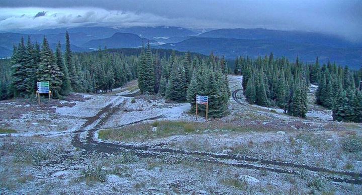
A record dry and hot summer in B.C. and Alberta ski country broke this month with snowfalls at just about every resort. Sure it mostly melted the next day, but it’s a sign.
Not everyone agrees with me.
Environment Canada’s long range forecasting predicts above normal temperatures for most of ski country early in the season.
In the new year the forecast switches to more normal looking temperatures. Precipitation looks average, except a bit above average along the Canadian Rockies as the winter progresses.
The Old Farmer’s Almanac predicts a warmer and dryer than normal winter in B.C. and Alberta with the snowiest periods in December. Ontario has a similar forecast, except for above average precipitation expected throughout the winter.
The upside to all this depressing news? Long range forecasts are notoriously unpredictable. Meteorologists get tomorrow’s weather wrong all the time. So I’m sticking with my optimism, but also making a back up plan to do a lot of skiing in December…and spring skiing in the Canadian Rockies.
RYAN REPORT is a frequent web post by Ski Canada magazine’s technical editor, Ryan Stuart.